

Remote Sensing (Satellites)
We use satellite imagery to track crop health, soil conditions, and water availability
Benefits:
- Enables early detection of stress, pests, or disease.
- Reduces unnecessary pesticide or fertilizer use.
- Helps farmers make data-driven decisions.
Geographic Information Systems (GIS)
GIS technology maps soil types, topography, and crop zones, helping farmers plan operations more precisely
Benefits:
- Improves planning for planting, irrigation, and input usage.
- Supports sustainable land management and conservation efforts
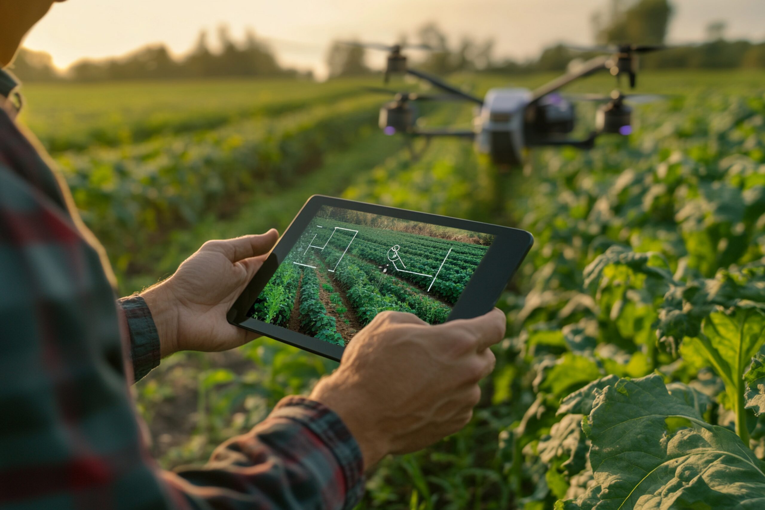
Mobile Application for Farmers
Our mobile app delivers vital information directly to farmers’ hands.
Benefits:
- Real-time agronomic advice and alerts.
- Access to market prices, weather forecasts, and pest warnings.
- Helps smallholder farmers implement modern, sustainable practices with confidence.